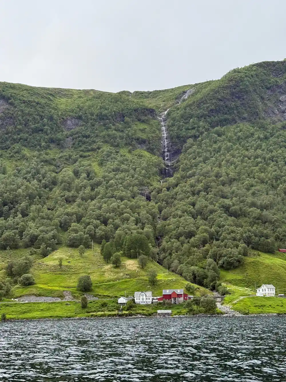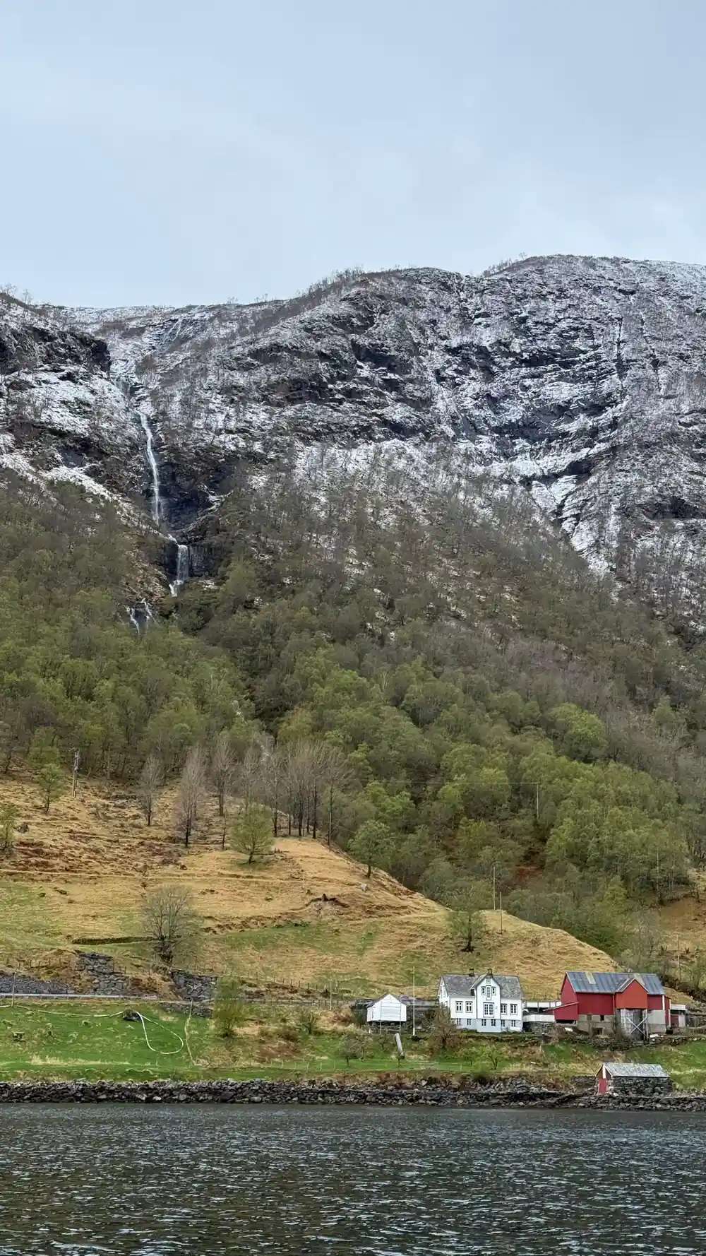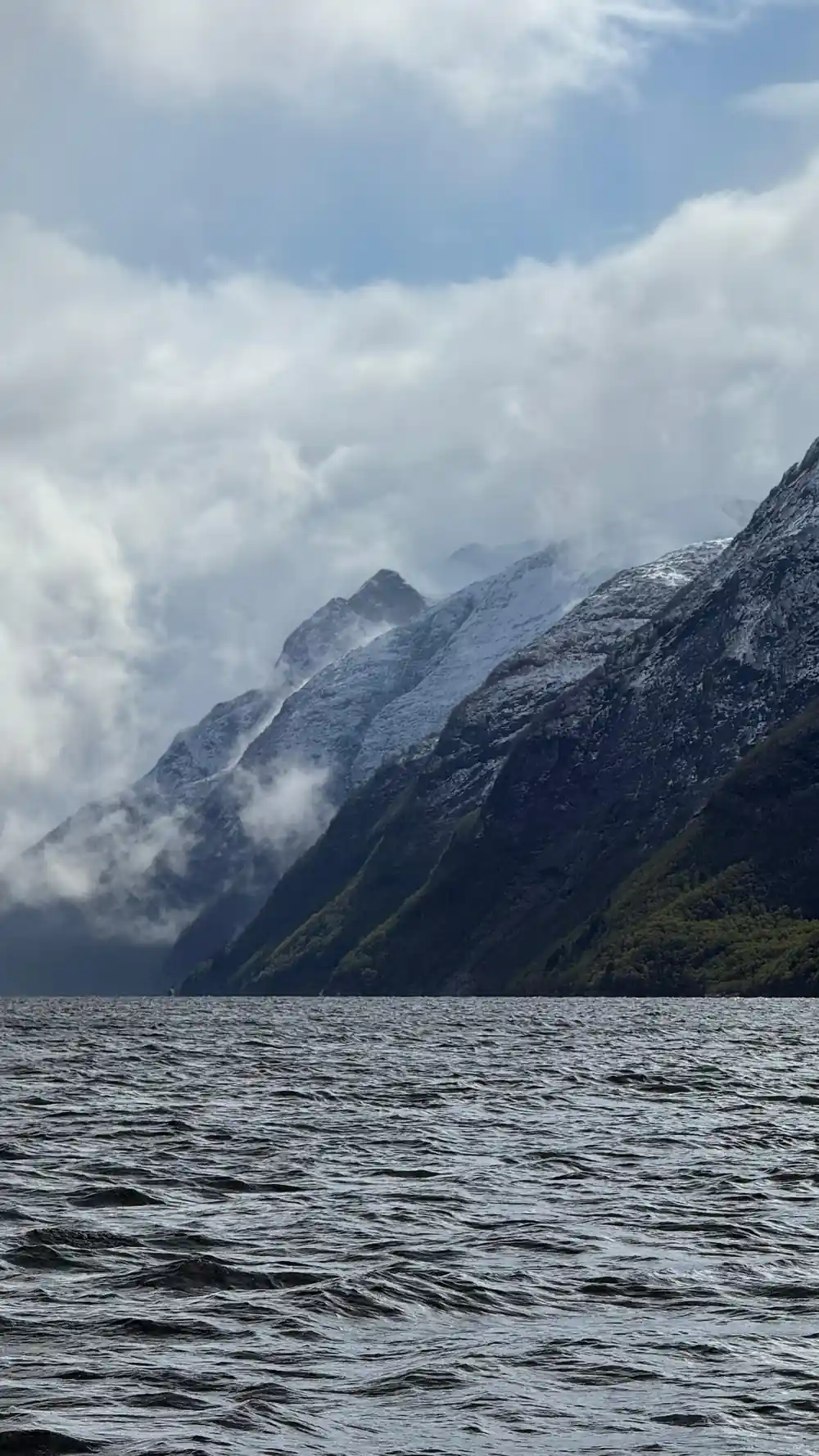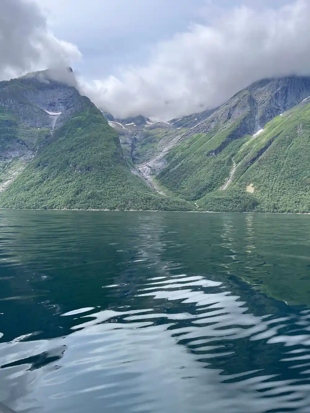
At a glance
- For most of their history these villages were reached by boat, and the water is still the quickest way to see the Hjørundfjord, which stretches for 35km.[1]
- Ferry crossings link Ytre Standal, Trandal, Sæbø, Skår and Leknes, and in summer an express boat from Ålesund to Øye calls at Trandal, Sæbø and Urke.[2]
- The RIB Ålesund - Fjordsafari Hjørundfjord runs for 105 minutes with a live English speaking guide and stops in Hjørundfjorden, from US$157.[3]
- Hjørundfjord Fjord Cruise roundtrip from Ålesund takes 5 hours and calls at Hjørundfjorden, Trandal, Saebo, Urke and Øye, from US$115.[4]
- Ålesund has an oceanic climate with cold, rainy winters and cool summers, so pack a windproof outer layer for any crossing.[5]
- Top choice RIB Ålesund - Hjørundfjord from US$157 Duration105 minutes[3]Rating4.88 from 150 reviews[3]GuideLive tour guide: English[3]StopsHjørundfjorden[3] Check availability
- Hjørundfjord roundtrip from US$115 Duration5 hours[4]Rating4.58 from 282 reviews[4]GuideLive tour guide: English[4]StopsTrandal, Saebo, Urke, Øye[4] See this tour
- RIB Hellesylt Geirangerfjord from US$104 Duration1 hour[6]Rating4.94 from 238 reviews[6]GuideLive tour guide: English[6]StopsSeven Sisters Waterfall[6] See this tour
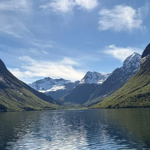
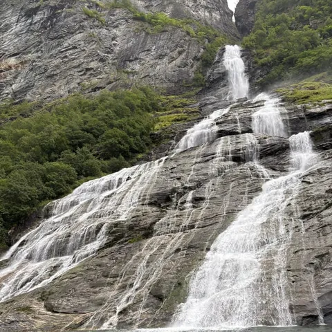
Or you can travel by car and enjoy beautiful ferry crossings between Ytre Standal, Trandal, Sæbø, Skår and Leknes.
Is the water the best way to see this coast?
Worth knowing first
Boats as Roads: Five Centuries of Water Transport
In this part of Norway the sea was never scenery first. It was the road. Farmsteads, church sites and trading quays sit where a boat could land, and for a long time the shortest way between two neighbours on opposite shores was a rowing boat or a small motor vessel rather than a track over a mountain pass. People went to church, to market and to family by water, and goods moved the same way: timber, dried fish, livestock, potatoes and later crates of furniture from the workshops inland. Stand on a ferry deck today and look at the shoreline: the houses and small quays still cluster where a hull can come alongside.
The Hjørundfjord is the clearest example on this coast. It stretches for 35km, a narrow arm of water with the Sunnmøre Alps standing over it, and its villages sit on the few flat strips of land between mountain and shore.[1] Roads arrived late and winding where the ground allowed; where it did not, the boat remained the answer. That is why a fjord cruise or a RIB safari here is not a modern invention laid over an empty landscape. It is the same route people have always taken, at a different speed and for a different reason.
The Sykkylven Ferry and the Magerholm Crossing
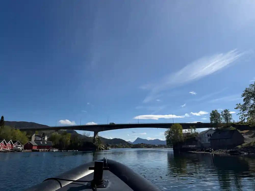
The Sykkylven ferry is the workhorse of the area. It crosses between the Sykkylven shore and Magerholm, where the road runs on towards Ålesund, and it carries what a bridge elsewhere would carry: commuters, vans, lorries, school classes and visitors with bicycles on the roof. In Norwegian it is the Sykkylven ferge, and the crossing itself is Sykkylven til Magerholm, a phrase that belongs to the local signage and to everyday conversation. Arrive at the quay, join the line of cars, and the view opens as soon as the ramp comes up.
A Sykkylven Magerholm pris is the fare question every driver asks before setting off, and it is best answered at the quay or from the operator rather than from a number remembered from an earlier trip. The crossing carries more than local traffic: commuters, delivery vans, campervans and tour coaches all queue for the same deck, so on a summer afternoon the line at the quay is part of the journey. For anyone driving from Ålesund to Sykkylven, or the other way, the ferry is simply the road continuing over water.
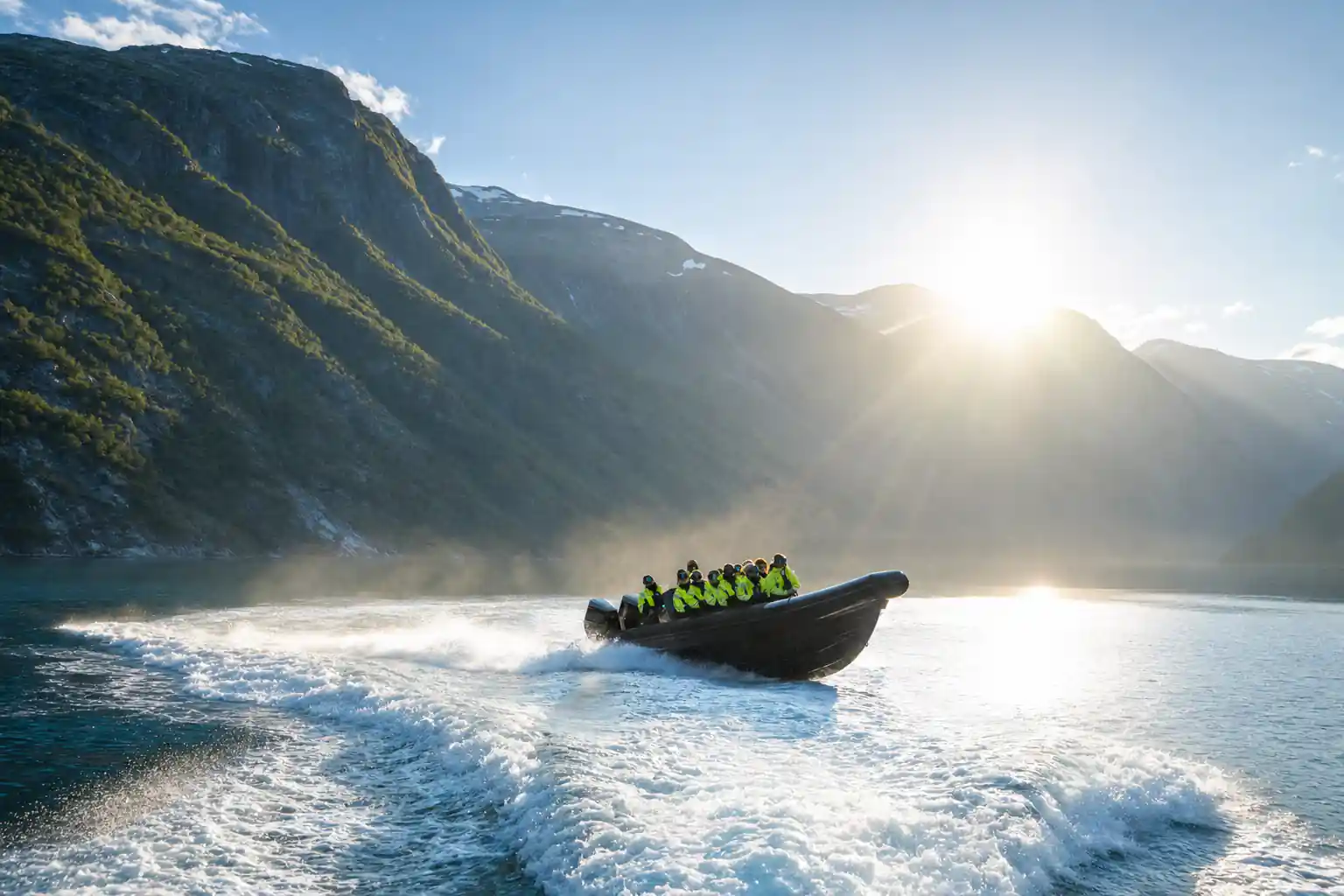
A RIB cuts a white wake across flat fjord water under the Sunnmøre Alps.
Furniture, Harbours and the Water's Industrial Legacy
Inland from the ferry quays, Sykkylven grew around furniture making. Timber came down from the valleys, workshops and factories settled near the shore, and finished chairs, sofas and cabinets left by boat from small harbours that had earlier handled fish and farm goods. The water was the loading dock, the freight route and the link to the wider coast all at once. You can still read the pattern in the way industrial buildings and jetties sit shoulder to shoulder along the shoreline, with the mountains rising immediately behind them.
The water is still working water. Car ferries, fishing boats, cargo vessels, express boats and the RIB safaris all use the same fjord, and they share it with wildlife. Harbour porpoises are the fjord's most common cetaceans, appearing singly or in small groups as they hunt fish near the surface.[7] Spotting them from a fast boat is a matter of luck, and of watching the water rather than the mountains for a few minutes at a time.
Cruise Ships in Deep Water
Big ships are part of the picture too. Ålesund is a port where cruise vessels tie up within sight of the Art Nouveau rooftops, and further up the fjords the same kind of ship can lie in water that stays deep close to the shore. The result is a strange and useful contrast: a hull the height of a building, tenders and excursion boats coming and going from its side, and a RIB with a dozen passengers crossing the wake on its way to somewhere quieter.
For a traveller this matters in a practical way. On a day when a cruise ship is alongside, the town and the excursion boats are busier than usual, and the fjord villages see more people in the middle of the day. Plan a RIB trip or a ferry crossing for the edges of the day if you want quiet water, and glance at the harbour before you decide what to do first.
105 minutes
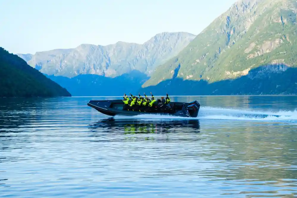
The RIB Ålesund - Fjordsafari Hjørundfjord runs for 105 minutes with a live English speaking guide and stops in Hjørundfjorden.[3]
Sæbø and Urke: Villages on the Boat Route
The villages along the Hjørundfjord are still strung together by water. Ferry crossings link Ytre Standal, Trandal, Sæbø, Skår and Leknes, and in summer an express boat from Ålesund to Øye calls at Trandal, Sæbø and Urke.[2] The roundtrip cruise from Ålesund follows the same corridor, taking 5 hours and calling at Hjørundfjorden, Trandal, Saebo, Urke and Øye, from US$115.[4] With a day to spare, this is a gentle way to see four or five places in one outing without driving at all.
There is history to match the scenery. Hotel Union Øye was established in 1891 and gained fame when the aristocracy and luminaries of Europe sought nature without sacrificing luxury and comfort.[8] In Norangsdal, a rock fall from Keipen in 1908 formed Lygnstøylvatnet, and beneath the water you can still see remains of the old road, farmhouse foundations and a gateway.[9] Above it all stands Slogen, a 1,564-meter mountain in the Sunnmøre Alps whose pyramid shape plunges straight into Norangsfjord, an arm of Hjørundfjord.[10]
How the Water's Depth Opens the Fjord
A fjord is a valley that the sea has taken over. Ice ground these troughs far below the present shoreline, and the walls that look so vertical above the water continue just as steeply underneath it. The water beside a village quay can be far deeper than it looks, dark green in the middle and almost black at the sides, and the surface often stays calm while wind moves the tops of the mountains.
That depth is what makes the water here a shared space. On one afternoon you can watch a kayak, a car ferry, a cruise ship and a RIB using the same stretch of fjord, each at its own speed. The wildlife is unbothered by the traffic as well. Harbour porpoises hunt near the surface, appearing in small groups or on their own.[7] Keep looking at the water between the mountains and you may catch a back and a fin for a second or two before they go under.
From Necessity to Choice: Planning Your Own Crossing
Today the water is a choice as well as a necessity. If you want hours on the fjord, the Hjørundfjord Fjord Cruise roundtrip from Ålesund takes 5 hours and starts from US$115, with stops at Hjørundfjorden, Trandal, Saebo, Urke and Øye.[4] If you want speed and spray, the RIB Ålesund - Fjordsafari Hjørundfjord runs for 105 minutes and starts from US$157, with a stop in Hjørundfjorden.[3] Nearer Geiranger, a RIB from Hellesylt runs for 1 hour from US$104 and reaches the Seven Sisters Waterfall.[6]
Booking is straightforward. The Hjørundfjord RIB listing offers reserve now and pay later, and free cancellation up to 24 hours in advance for a full refund, which leaves room to move your trip if the forecast turns.[3] Weather here rewards a flexible plan: Ålesund has an oceanic climate with cold, rainy winters and cool summers.[5] A waterproof shell, a warm layer and gloves will keep you comfortable on an open boat, and in summer the express boat from Ålesund to Øye is a simple way to travel the fjord without a car.[2]
Fjord trips compared by from price
What a day on the fjord costs from
From prices in US dollars:[3][4][6][11]
When to plan your crossing
Planning your fjord day
Pick your boat
Choose between a ferry, the summer express boat and a RIB. Ferries are the everyday option; the RIB is the fast, close-up one.
Reach the quay
Work out whether you start from Ålesund, Sykkylven or Hellesylt, and leave slack in the day for the ferry queue.
Book the RIB
Reserve now & pay later is offered on the Hjørundfjord RIB listing, with free cancellation up to 24 hours in advance.[3]
Dress for spray
A waterproof shell, a warm mid layer and gloves make a fast boat comfortable even on a bright, still day.
Watch the water
Scan for harbour porpoises hunting near the surface; they often appear singly or in small groups.[7]
Ride a RIB out of Sykkylven into Hjørundfjorden
from US$157Reserve now & pay later