At a glance
- A rock fall from Keipen formed Lygnstøylvatnet in Norangsdal, and the old road, farmhouse foundations and gateway are still visible beneath the water.[10]
- The Hjørundfjord stretches for 35km, and Slogen, a 1,564-meter mountain, plunges into Norangsfjord, an arm of the fjord.[11][12]
- In summer an express boat from Ålesund to Øye stops at Trandal, Sæbø and Urke; ferries link Ytre Standal, Trandal, Sæbø, Skår and Leknes.[13]
- The RIB Ålesund - Fjordsafari Hjørundfjord runs 105 minutes, from US$157, with a live guide in English.[14]
- Ålesund has an oceanic climate with cold, rainy winters and cool summers, so pack waterproof layers and warm ones.[15]
- Top choice RIB to Hjørundfjord from US$157 Duration105 minutes[14]Rating4.88 from 150 reviews[14]GuideLive guide in English[14]StopsHjørundfjorden[14]CancellationFree cancellation up to 24 hours[14] Check availability
- Hjørundfjord RIB Safari from US$158 Duration2 hours[16]Rating4.93 from 13 reviews[16]GuideLive guide in English[16]StopsHjørundfjorden[16]CancellationFree cancellation up to 24 hours[16] See this tour
- Hjørundfjord Fjord Cruise from US$115 Duration5 hours[17]Rating4.58 from 282 reviews[17]GuideLive guide in English[17]StopsTrandal, Saebo, Urke, Øye[17]CancellationFree cancellation up to 24 hours[17] See this tour
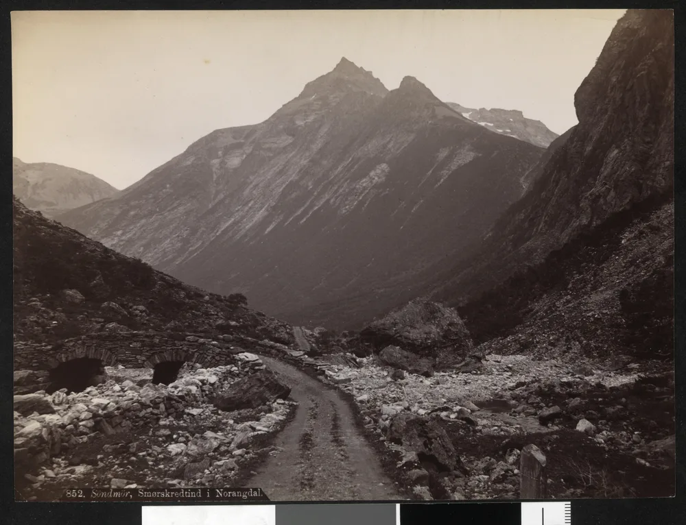
The lake known as Lygnstøylvatnet in the valley of Norangsdal was formed by a rock fall from Keipen in 1908. Beneath the waters of the lake, you can still see remains of the old road, the foundations of the farmhouses and the gateway.
Is Norangsdal worth a day of your trip?
Getting there and booking
The Norangsdalen rockfall of 1908
In 1908 a rock fall came down from Keipen, and the lake known as Lygnstøylvatnet formed in the valley of Norangsdal.[10] The valley is quiet now, and the way the water lies in it is what makes it worth a stop. Where there was once a road and a small cluster of farm buildings, there is now a stretch of still water lying along the valley floor, with the peaks of the Sunnmøre Alps standing over it. The rock fall changed the ground people walked on, and the valley has been read differently ever since.
The lake sits in a narrow, green trough between steep walls, and from the road it looks entirely ordinary: dark water, grass to the edge, a few stones. What makes it worth stopping for is what it hides. The old road, the foundations of the farmhouses and the gateway are still visible beneath the waters of the lake.[10] On a still, bright day those shapes show up as faint lines and rectangles in the silt. On a grey day with a chop on the surface you will see nothing but sky reflected back, and timing matters more here than at almost any other stop on a fjord itinerary.
What lies beneath Lygnstøylvatnet
Beneath the water you can still see remains of the old road, the foundations of the farmhouses and the gateway.[10] This is not a reconstruction built for visitors. It is the fabric of a small farming place, left where it stood when the water arrived: a road line, a set of rectangular foundations, a gateway at a field boundary, all of it under the surface of a lake that gives away nothing from the road.
Come early if you can, when the valley air is still and the surface has not been ruffled by the wind that funnels down between the mountains later in the day. Polarising sunglasses or a polarising filter help a great deal, because they cut the glare that hides what is underneath. Walk a little way along the shore rather than stopping at the first lay-by, and look from several angles, since the shapes are clearer from some spots than others. Do not wade in: the water is cold, the bottom is soft, and the site is fragile.
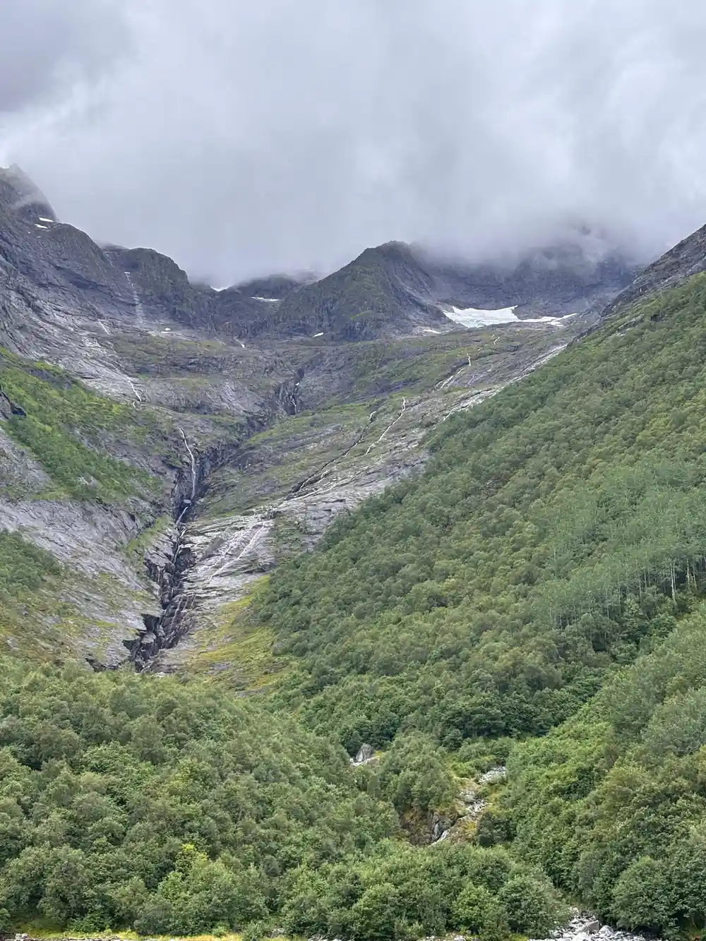
The valley road runs close to Lygnstøylvatnet
Norangsdal and the Hjørundfjord landscape
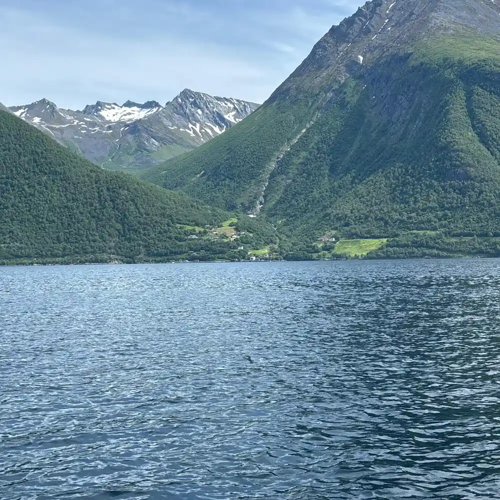
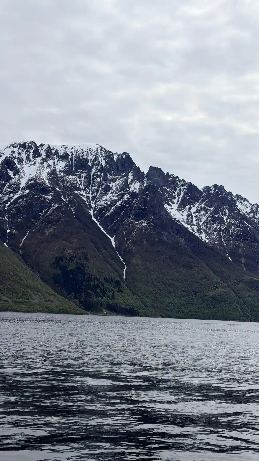
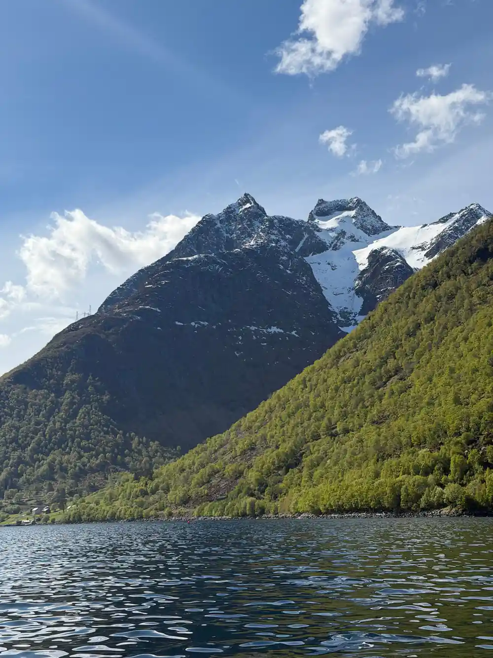
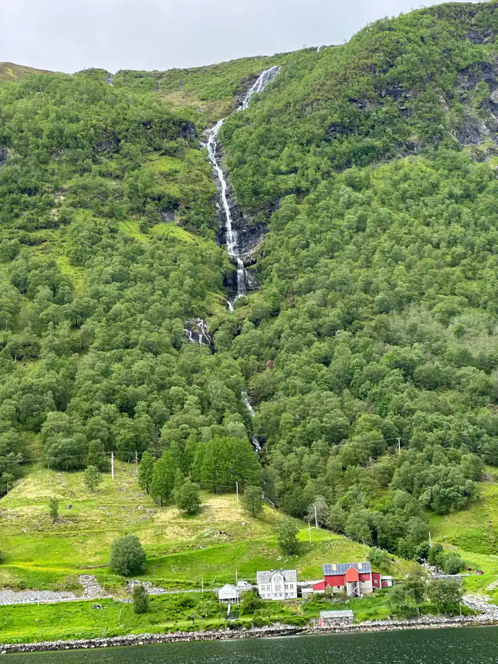
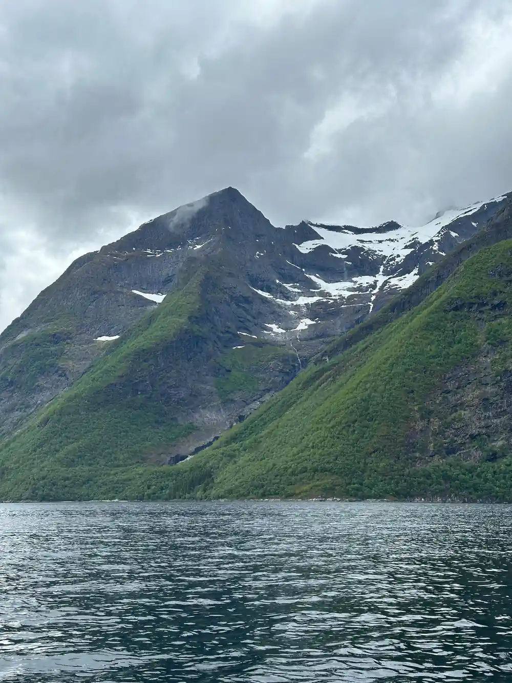
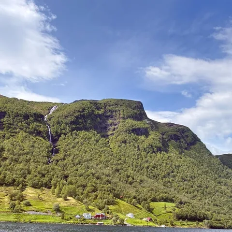
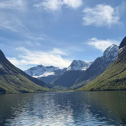
The Hjørundfjord stretches for 35km through steep mountain country.[11] Norangsdal opens off the fjord system near Øye, and the valley is framed by peaks on every side. Above it stands Slogen, a 1,564-meter mountain in the Sunnmøre Alps whose pyramid shape plunges directly into Norangsfjord, an arm of the Hjørundfjord.[12] Even if you never put a boot on a trail, that profile is the backdrop to the whole day, appearing and disappearing as the road bends.
Øye is a small place at the head of the fjord, and it has been a stopping point for a long time. Hotel Union Øye was established in 1891 and gained fame among European aristocracy and luminaries seeking nature without sacrificing luxury and comfort.[19] The building still anchors the village, and it gives the valley a thread of history that runs alongside the farming and the boat traffic.
Getting to Øye and Norangsdal
In summer there is an express boat service from Ålesund to Øye that stops at Trandal, Sæbø and Urke.[13] That is the straightforward way in without a car, and the approach by water is a fine introduction, with the mountains close at hand before you ever reach the road. Drivers have their own options: there are ferry crossings between Ytre Standal, Trandal, Sæbø, Skår and Leknes.[13]
For anyone with an interest in Øye and Hellesylt road history, the valley road is the stretch to slow down for. It runs through Norangsdal past the lake, and it is the thread that ties the fjord villages to the inner valleys. The road is narrow in places and parking is limited, so it pays to arrive early and to treat the lay-bys as places to stop rather than to leave the car for hours. If you come by boat, check the return times before you walk off down the valley, because a day on foot here can take longer than you expect.
1908
A rock fall from Keipen formed Lygnstøylvatnet in Norangsdal; the old road, farmhouse foundations and gateway stay visible below.[10]
Seeing the fjord from the water
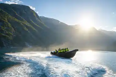
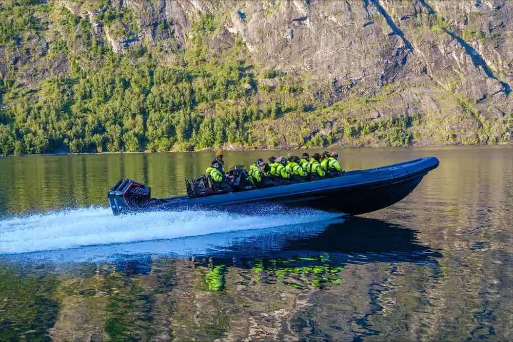
To understand the scale of the Hjørundfjord, get out on the water. The RIB Ålesund - Fjordsafari Hjørundfjord runs for 105 minutes, from US$157, with a live guide in English, and the stop is Hjørundfjorden.[14] It is rated 4.88 from 150 reviews, can be reserved now and paid for later, and comes with free cancellation up to 24 hours in advance for a full refund.[14]
Other versions of the same idea are listed if the timing does not suit. Fjordsafari with RIB to Hjørundfjord runs 2 hours, from US$158, rated 4.93 from 13 reviews.[16] The Hjørundfjord Fjord Cruise roundtrip from Ålesund is slower and longer at 5 hours, from US$115, rated 4.58 from 282 reviews, and it calls at Hjørundfjorden, Trandal, Saebo, Urke and Øye.[17] There is also a shorter RIB trip on the Geirangerfjord from Hellesylt, listed at 1 hour and from US$104.[20]
A RIB moves fast and low, so you feel the cold air and the spray and cover a lot of water. A cruise boat is warmer and slower and lets you look around more comfortably. Either way, the sight of fjord walls dropping straight to the water, with small farms on slopes that look impossible to work, is what people remember afterwards. Take a camera you can hold with cold hands, and keep it in a dry bag between stops.
Weather, seasons and what to wear
Ålesund has an oceanic climate, with cold, rainy winters and cool summers.[15] That is the honest summary, and it holds along the fjord too. Rain is not a rare event here; it is part of what keeps the slopes so green. Plan for it rather than around it, and the day goes much better.
A waterproof outer layer and a warm mid layer cover most days on the water, and gloves make a fast boat far more pleasant even in midsummer. Footwear with grip matters if you plan to walk any of the valley road or the tracks near the lake. A small dry bag for phone and camera is worth the space, a spare layer in the car or at the hotel saves the evening, and sunglasses are kit rather than an accessory, because the glare off the fjord is strong when the sky clears.
Wildlife and quiet water on the fjord
Harbour porpoises are the fjord's most common cetaceans, appearing singly or in small groups as they hunt fish near the surface.[18] They are small, quick and easy to miss, so watch the water rather than the mountains for a few minutes at a time. A slick patch, a brief roll of a back, a splash that does not fit the wave pattern: that is usually all you get. White-tailed eagles work the same coast, often sitting on a rock or a fence post until a boat comes near.
Keep your distance from wildlife, keep your voice down close to the shore, and let the quiet do some of the work of the day. Norangsdal is a good place to slow down after a fast boat trip: a short walk along the valley road, a long look at the lake, and the day has both a story and a view in it.
From-prices for boat tours on and near the fjord
GetYourGuide from-prices: RIB Ålesund US$157[14], Fjordsafari RIB US$158[16], Hjørundfjord cruise US$115[17], Geirangerfjord RIB US$104[20].
What a fjord boat trip costs
US dollar from-prices of these listings[14][16][17].
When to plan your visit
Planning a Norangsdal day
Reach Øye first
In summer the express boat from Ålesund to Øye stops at Trandal, Sæbø and Urke.[13]
Walk the valley road
The road through Norangsdal passes the lake, and the ground under the water was once road and farmland.[10]
Look into the lake
From the roadside, look for the old road, farmhouse foundations and gateway still visible beneath the water.[10]
Add a boat trip
The RIB Ålesund - Fjordsafari Hjørundfjord runs 105 minutes from US$157, with a stop in Hjørundfjorden.[14]
Pack for rain
Ålesund has cold, rainy winters and cool summers, so a waterproof shell and a warm layer are the basics.[15]
See the Hjørundfjord from the water on a RIB fjordsafari
from US$157Reserve now & pay later