At a glance
- Ice ground out this valley and the sea moved in behind it. The Hjørundfjord now stretches for 35km between the Sunnmøre peaks.[2]
- Slogen is a 1,564-meter mountain in the Sunnmøre Alps whose pyramid shape plunges directly into Norangsfjord, an arm of the Hjørundfjord.[3]
- The RIB Ålesund run takes 105 minutes with a live guide in English and a stop in Hjørundfjorden, from US$157.[4]
- In summer the express boat from Ålesund to Øye stops at Trandal, Sæbø and Urke, and ferry crossings link Ytre Standal, Trandal, Sæbø, Skår and Leknes.[5]
- A rock fall from Keipen formed Lygnstøylvatnet in Norangsdal in 1908, and the old road and farmhouse foundations are still visible beneath the water.[6]
- Top choice RIB Hjørundfjord from US$157 Rating4.88 from 150 reviews[4]Duration105 minutes[4]RouteHjørundfjorden[4]CancellationFree up to 24 hours before[4] Check availability
- Fjordsafari RIB, Uteguiden from US$158 Rating4.93 from 13 reviews[7]Duration2 hours[7]RouteTo HjørundfjordCancellationFree up to 24 hours before[7] See this tour
- Geirangerfjord RIB from US$104 Rating4.94 from 238 reviews[8]Duration1 hour[8]RouteHellesylt to Geirangerfjord[8]CancellationFree up to 24 hours before[8] See this tour
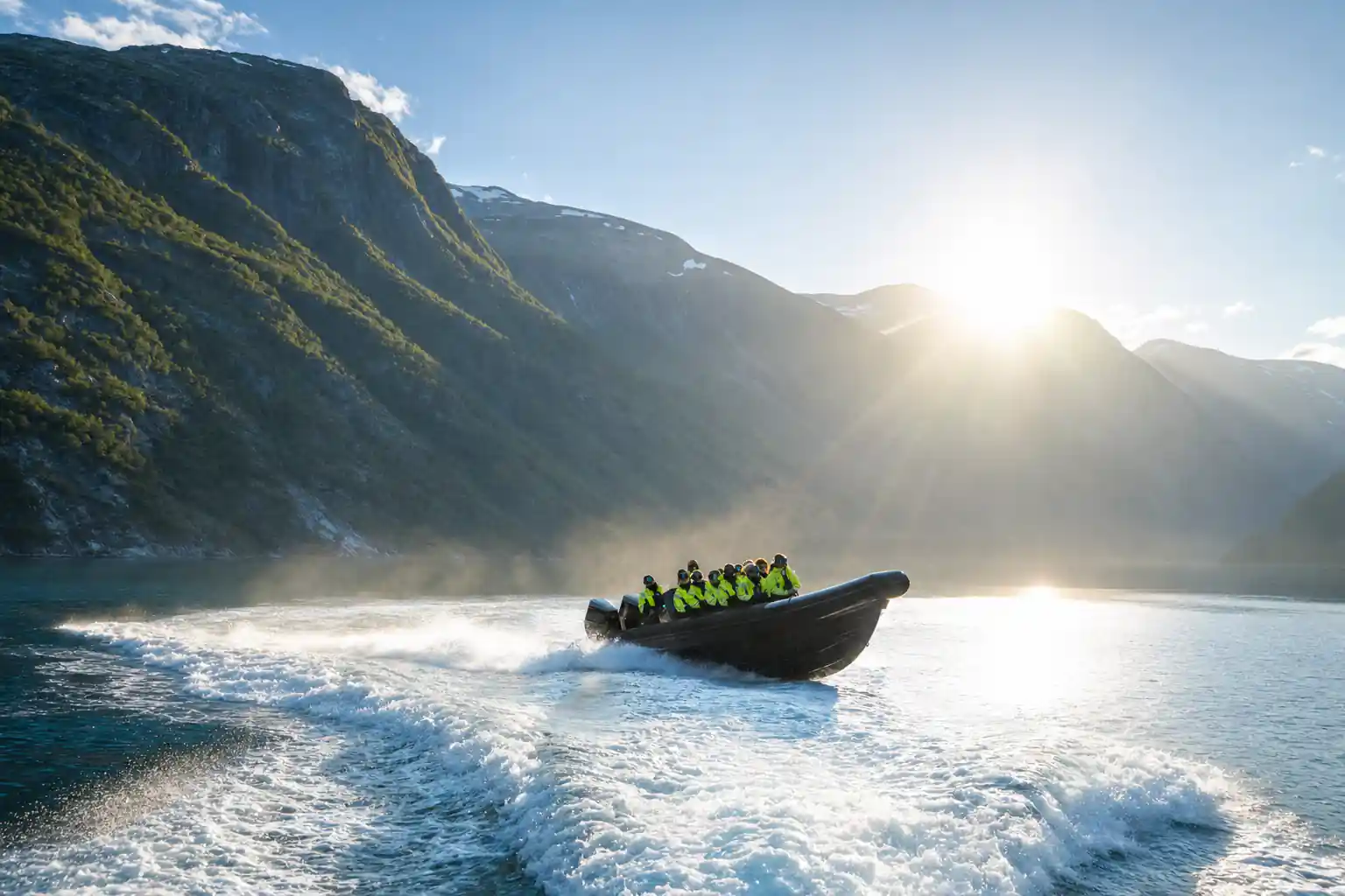
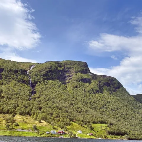
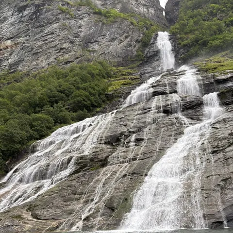
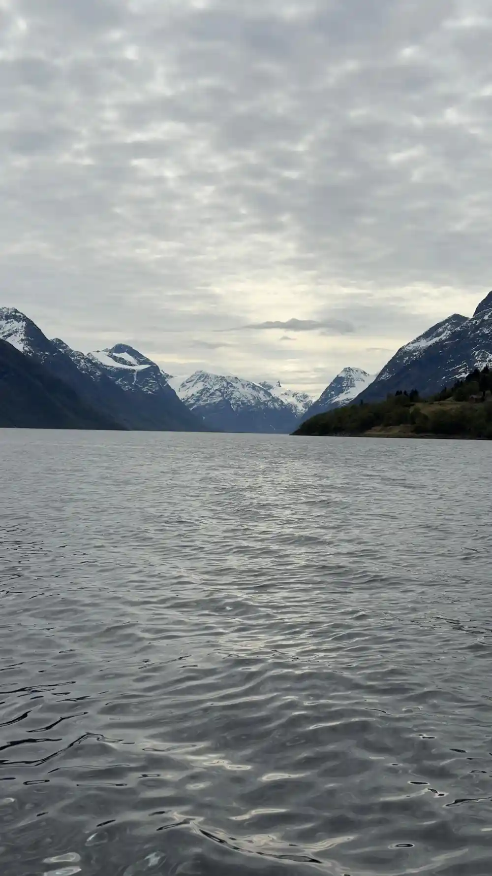
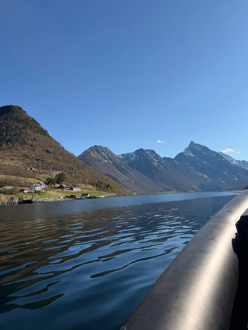
the Hjørundfjord stretches for 35km beneath the jagged mountain peaks of the Sunnmøre Alps
Worth it for the reading of the landscape
Worth knowing first
On the water
- Glare off the fjord is strong even under cloud, so sunglasses earn their place.
- Dress for wind chill. An open RIB at speed feels much colder than the harbour does.
- There is a live guide in English on board, so ask about the side valleys as you pass.[4]
- The route stops in Hjørundfjorden, the water at the heart of the Sunnmøre Alps.[4]
How Ice Cut the Hjørundfjord Trench
Hjørundfjord is a drowned mountain valley. Ice crept down it through the cold phases of the ice ages, grinding the walls steeper and smoothing the floor, and when the ice finally pulled back the sea came in behind it. What you look at from a boat is the inside of that channel: rock polished in one place, torn and broken in the next, with cold water filling the space the ice left. Nothing about the shape is accidental.
The scale is easy to misjudge. The fjord stretches for 35km,[2] and the rock walls keep rising long after the water has stopped. On a boat there is little to measure against: no fence line, no row of buoys, nothing at eye level for long stretches but water and stone. You feel the length of the fjord in the cold air on your face and in the time a single mountain takes to slide past.
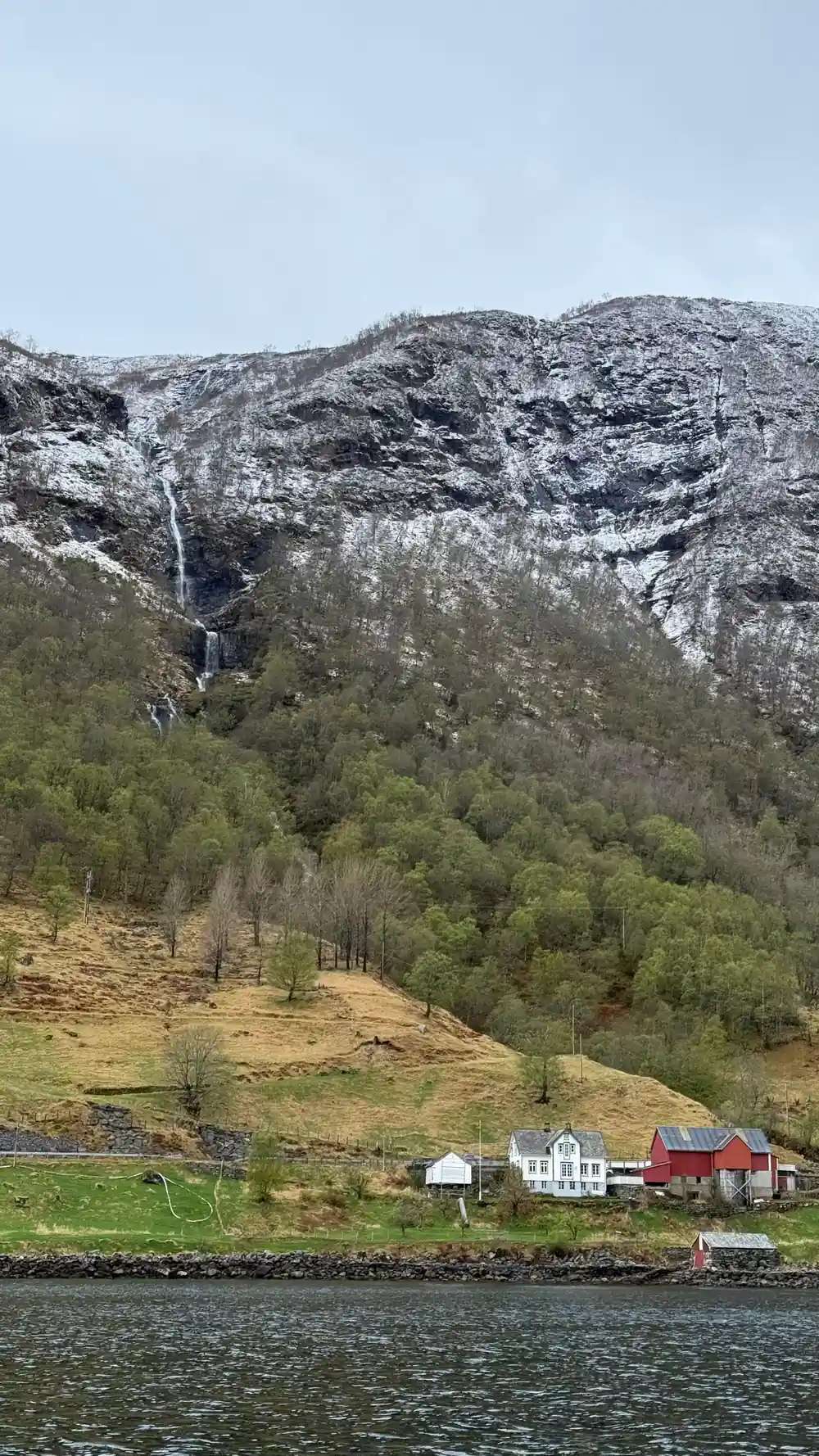
Glaciers work unevenly. Hard rock came out polished to a shine; jointed rock came away in blocks and left scars that still read clearly from the water. Smaller valleys that once carried their own ice were left hanging high above the main trench, and their streams arrive as thin waterfalls rather than gentle rivers, dropping off a shelf straight into the fjord.
Why the Sunnmøre Alps Stand in the Water
The Sunnmøre Alps are not a separate range you drive to. They are the ground the fjord runs through: summits packed close together, water at their feet, snow lying late in the shaded gullies. Slogen is the one everybody points at, a 1,564-meter mountain in the Sunnmøre Alps whose pyramid shape plunges directly into Norangsfjord, an arm of the Hjørundfjord.[3]
Part of the effect is the angle. These slopes are steep enough that a boat close to shore feels as if it is standing under a wall, and there is no gentle transition from forest to bare rock to summit. Birch and pine hold on low down, then give up quickly, and above them there is only stone, grass, and the occasional ledge that would make a climber think twice.
From the water the mountains read as a moving wall rather than a skyline. Features that look obvious on a map arrive slowly and vanish behind the next headland, so it pays to look back as well as forward. The same summit shows a completely different face once you have passed it, and the peaks that were behind you are suddenly the ones filling the frame.
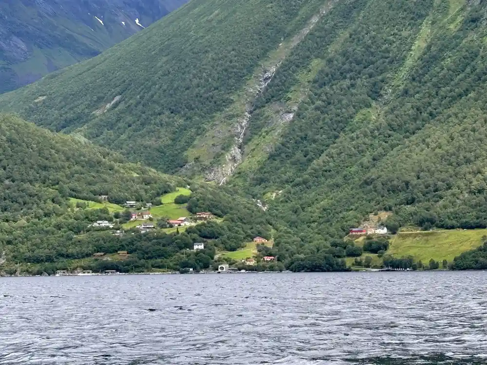
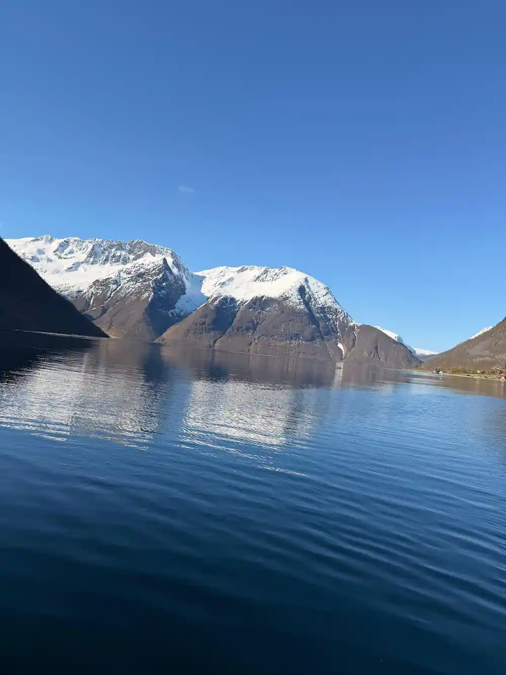
Morning calm on the Hjørundfjord, with the Sunnmøre Alps standing on both sides.
Named Summits and Waterfalls You Pass on the RIB
The tour stops in Hjørundfjorden,[4] which puts you under the slopes rather than across the water from them. Slogen is the summit most people want to see, and from sea level the pyramid shape is unmistakable: a broad base, a clean ridge line, and a top that seems to lean out over the water.
Waterfalls are the other thing people ask about. Many are nameless on the maps, fed by snowfields and small ice patches high on the plateaus, and they change with the weather. After rain or a warm spell they run fat and white; in a dry stretch the same fall is a thread you have to hunt for. Count the ones you can see, then count again on the way back, when different gullies come into view.
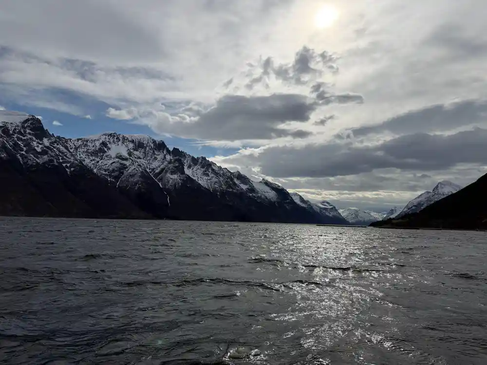
What you see depends on the day. Low cloud cuts the tops off and turns the fjord into a narrow grey corridor with no horizon at all; clear light opens up the whole valley system behind, including side arms that open and close as the boat moves. Neither version is a wasted trip, and both are worth a warm hat and a camera you can work with cold hands.
Side Valleys and What They Show About the Ice
Side valleys are where the story becomes readable. Norangsdal runs inland from the fjord, and in 1908 a rock fall from Keipen formed Lygnstøylvatnet in the valley; beneath the water you can still see remains of the old road, the foundations of the farmhouses and a gateway.[6] It is an odd, quiet sight: a lake with a drowned landscape under it, clear enough on a still day to make out shapes.
Hotel Union Øye was established in 1891 and gained fame when the aristocracy and luminaries of Europe came looking for nature without sacrificing luxury and comfort.[9] Walking past it, or looking up at it from the water, shows how early travellers took these valleys in: slowly, comfortably, and with a great deal of mountain left over for the following day.
The valley shapes also show how much ice has gone. Side valleys hang above the main fjord because the trunk glacier cut deeper and faster than its branches, and their rivers tumble down to meet the water at the steep step. Once you know to look for that step in the profile, every side valley becomes a small piece of evidence, and the map in your head starts to match the ground.
from US$157
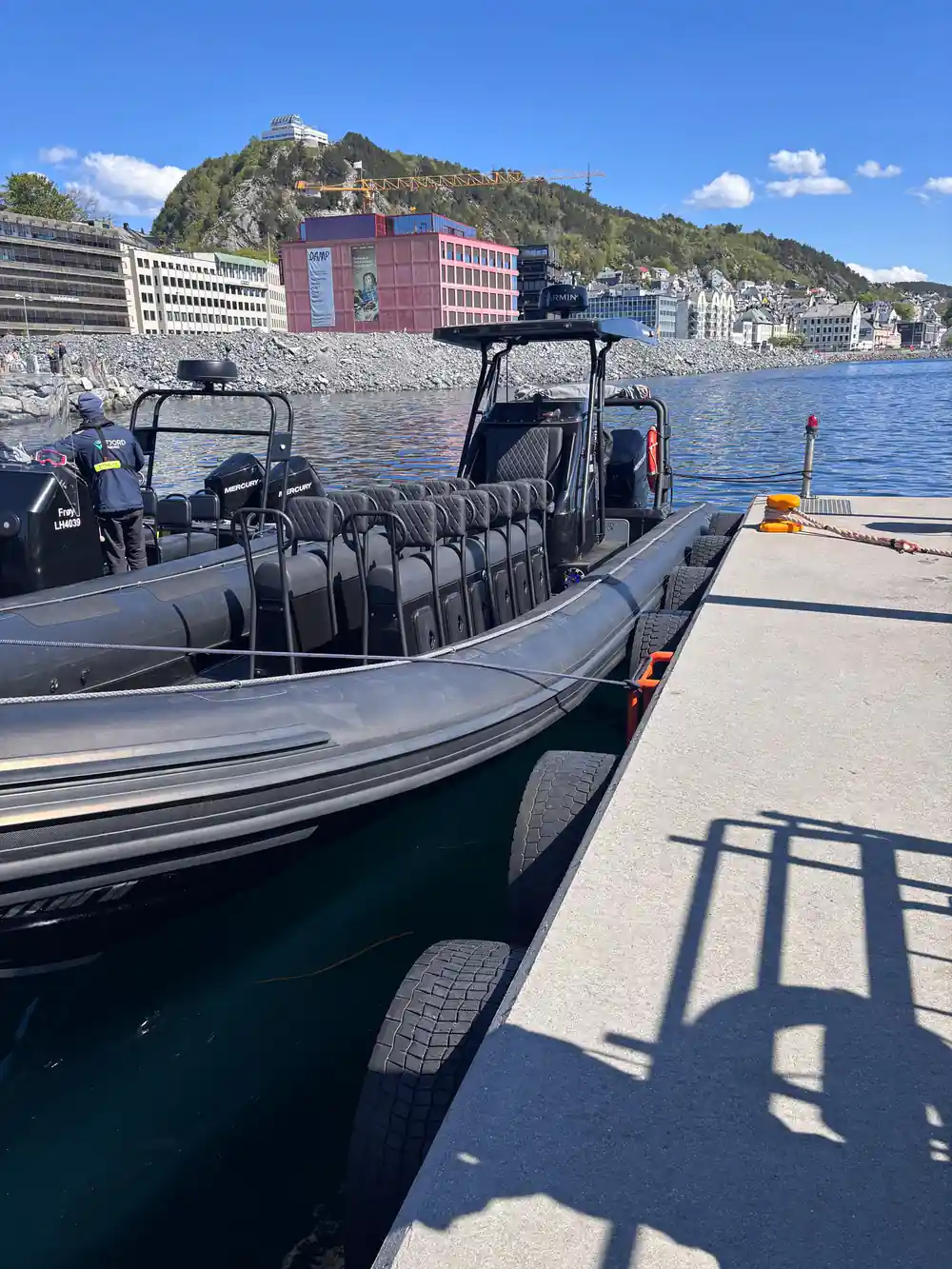
The RIB Ålesund - Fjordsafari Hjørundfjord runs 105 minutes with a live guide in English and a stop in Hjørundfjorden.[4]
Fresh Water on Salt: Why the Surface Looks Calm
Meltwater and rain run off the mountains in enormous volumes and spread across the fjord as a layer of fresh water sitting on top of the salt. Fresh water is lighter, so it floats, and for a while it stays where it lands instead of mixing straight away. The result is a surface that can look almost too smooth to be sea, especially in the morning before the valley breeze picks up.
That thin layer is what makes the reflections. Small streams arriving cold and clean above heavier salt water give the fjord its mirror quality, and the same effect lets the water change colour within a few boat lengths, from ink under a cloud to bright silver when the sun comes through. A calm hour after sunrise is the one to save your best photographs for.
Life uses the boundary too. Harbour porpoises are the fjord's most common cetaceans, appearing singly or in small groups as they hunt fish near the surface.[10] Watch the water rather than the peaks now and then: a low, quick roll of a back is easy to miss when the mountains are doing all the work.
How You Reach the Fjord, and What the Weather Does
Ålesund has an oceanic climate, with cold, rainy winters and cool summers.[11] That means weather which changes over a day rather than a week, cloud sitting low in the valleys in the morning, and long, bright evenings in midsummer when the light stays on the water. Pack for three versions of the same day: sun, wind and rain.
Getting in is part of the experience. In summer the express boat from Ålesund to Øye stops at Trandal, Sæbø and Urke,[5] where the sykkylven fjell rise behind the shoreline. Ferry crossings link Ytre Standal, Trandal, Sæbø, Skår and Leknes.[5] Between them, these are the threads that tie the fjord together.
The water sets the timetable here. Check times the day before you travel, allow more time than the map suggests, and treat a delayed boat as an extra hour in a place that rewards sitting still. If you only have one day on the fjord, make it the day you do nothing else.
Reading the Ice Age in the Landscape Today
Once you know the shapes, the ice age stops being abstract. U-shaped valleys, polished slabs, boulders dropped far from their parent rock, hanging side valleys and small lakes trapped behind ridges all point the same way: this landscape was built by ice, then drowned by the sea, then left to the weather. You do not need a geology degree to read it, just patience and a boat.
You can practise from the deck. Look for where a side valley meets the fjord and see whether its floor sits high above the water. Look for the fan of stones where a stream drops its load. Look for the sharp line where bare rock starts above the trees, and for the smooth whaleback shapes that mean the ice passed over and kept going.
The landscape keeps editing itself. Rock still moves, streams cut new channels down old slopes, and the mountains shed material that ends up as a delta or a beach. None of it is fast, but on a fjord this size the result is a shoreline that changes between seasons and between visits, which is a good reason to come back and look again.
From-prices for fjord tours from Ålesund and Hellesylt
Every value is a from-price in US dollars taken from these GetYourGuide listings:[4][7][8][12][13].
From-prices per person on the fjord
From-prices per person in US dollars from these listings:[4][7][8][12]. These listings give no separate child rate.
When to go on the Hjørundfjord
Plan your Hjørundfjord day
Pick your water level
Decide whether you want speed or a slow deck. The RIB run lasts 105 minutes.[4]
Base yourself well
Ålesund is the usual starting point for boats and buses, and the fjord's own stopping places sit at the water's edge.
Watch the forecast
Ålesund has an oceanic climate, with cold, rainy winters and cool summers.[11] Build a spare day into the plan.
Sort your transport
In summer the express boat from Ålesund to Øye stops at Trandal, Sæbø and Urke.[5]
Add a side valley
Norangsdal holds Lygnstøylvatnet, formed by a rock fall from Keipen in 1908.[6]
See the Hjørundfjord from water level on the RIB
from US$157Reserve now & pay later