At a glance
- The RIB Ålesund - Fjordsafari Hjørundfjord leaves from the same water that built the town, reaching Hjørundfjorden in 105 minutes from US$157.[1]
- The 105-minute RIB ride has a live English-speaking guide and is rated 4.88 from 150 reviews, with free cancellation up to 24 hours in advance.[1]
- The roundtrip fjord cruise from Ålesund takes 5 hours and calls at Hjørundfjorden, Trandal, Saebo, Urke and Øye, from US$115.[2]
- A RIB safari to Hjørundfjord with Uteguiden lasts 2 hours from US$158, rated 4.93 from 13 reviews.[3]
- The city hop-on hop-off bus is from US$41 and is valid 1 day from first activation, with an audio guide included.[4]
- Top choice RIB to Hjørundfjord from US$157 Duration105 minutes[1]GuideLive tour guide: English[1]Rating4.88 from 150 reviews[1]CancellationCancel up to 24 hours[1] Check availability
- Hjørundfjord round trip from US$115 Duration5 hours[2]GuideLive tour guide: English[2]Rating4.58 from 282 reviews[2]CancellationCancel up to 24 hours[2] See this tour
- Fjordsafari RIB (Uteguiden) from US$158 Duration2 hours[3]GuideLive tour guide: English[3]Rating4.93 from 13 reviews[3]CancellationCancel up to 24 hours[3] See this tour
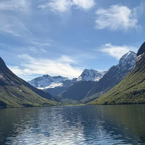
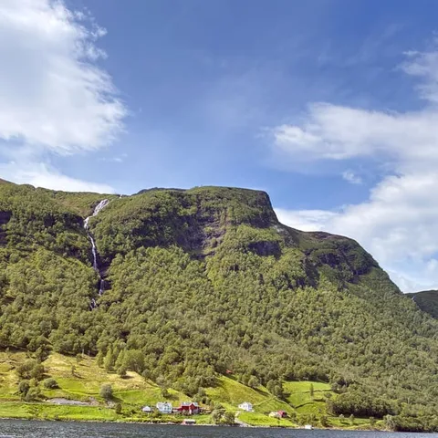
The lake known as Lygnstøylvatnet in the valley of Norangsdal was formed by a rock fall from Keipen in 1908. Beneath the waters of the lake, you can still see remains of the old road, the foundations of the farmhouses and the gateway.
Is Ålesund worth visiting? Yes, and the water is why
Worth knowing first
Art Nouveau on the harbourfront
Ålesund greets arriving boats with towers, turrets and a skyline that looks drawn rather than built. The centre was raised again in brick and stone after fire took the old wooden streets, and the result is a compact grid of ornamented facades, curved gables and small squares that reward a slow walk. From the quays you can take in the whole town at once, with water on three sides and mountains at its back. The climate of Ålesund is oceanic, with cold, rainy winters and cool summers, so a waterproof layer earns its place in your bag in any month.[5]
If you want the town explained rather than simply admired, a small-group walking tour of Art Nouveau, sea views and hidden gems runs from US$68 for 2 hours with a live guide in German or English, and it is rated 4.97 from 171 reviews.[6] A lazier way to cover ground is the city hop-on hop-off bus, from US$41, valid 1 day from first activation, wheelchair accessible, with an audio guide included in Spanish, English, French, German, Italian, Japanese, Dutch and Chinese.[4] Both are easy add-ons if you have a spare half day on either side of your time on the water.
Herring, cod and the working coast
Ålesund grew rich on the sea long before anyone came here for the view. The harbour was a place of salt, barrels, drying racks and boats that slipped out before dawn, and that working instinct still shapes the waterfront. Ferries cross between Ytre Standal, Trandal, Sæbø, Skår and Leknes.[7] In summer, an express boat service from Ålesund to Øye stops at Trandal, Sæbø and Urke.[7]
Keep your eyes low on the water rather than up at the peaks. Harbour porpoises are the fjord's most common cetaceans, appearing singly or in small groups as they hunt fish near the surface, so a brief dark back and a puff of breath may be all you see.[8] A steady watch and a quiet engine help, and the surface changes character with every shift in the light.
Eating is part of understanding a place like this. The harbour has always fed the town, and fishing boats still tie up along the quays a short walk from kitchens that serve what they land. Order a simple fish soup or the catch of the day somewhere close to the water, and you are tasting the same story the old warehouses were built on.
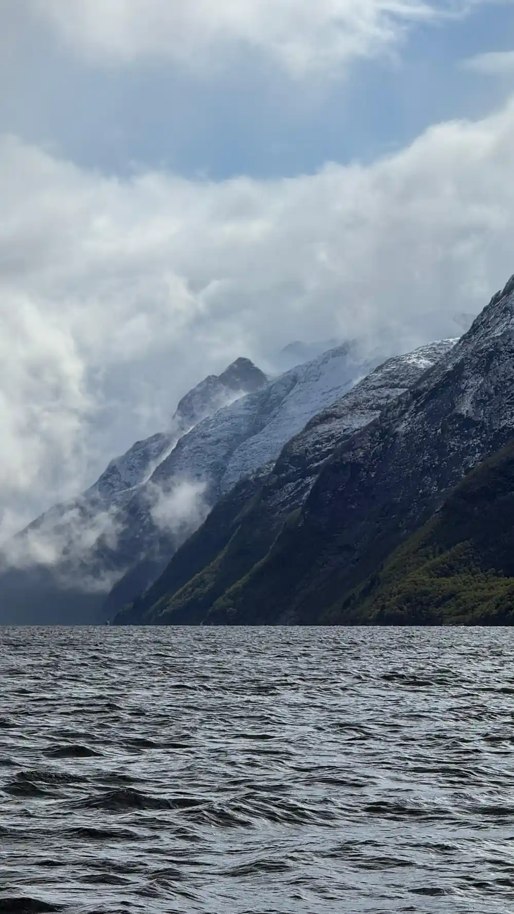
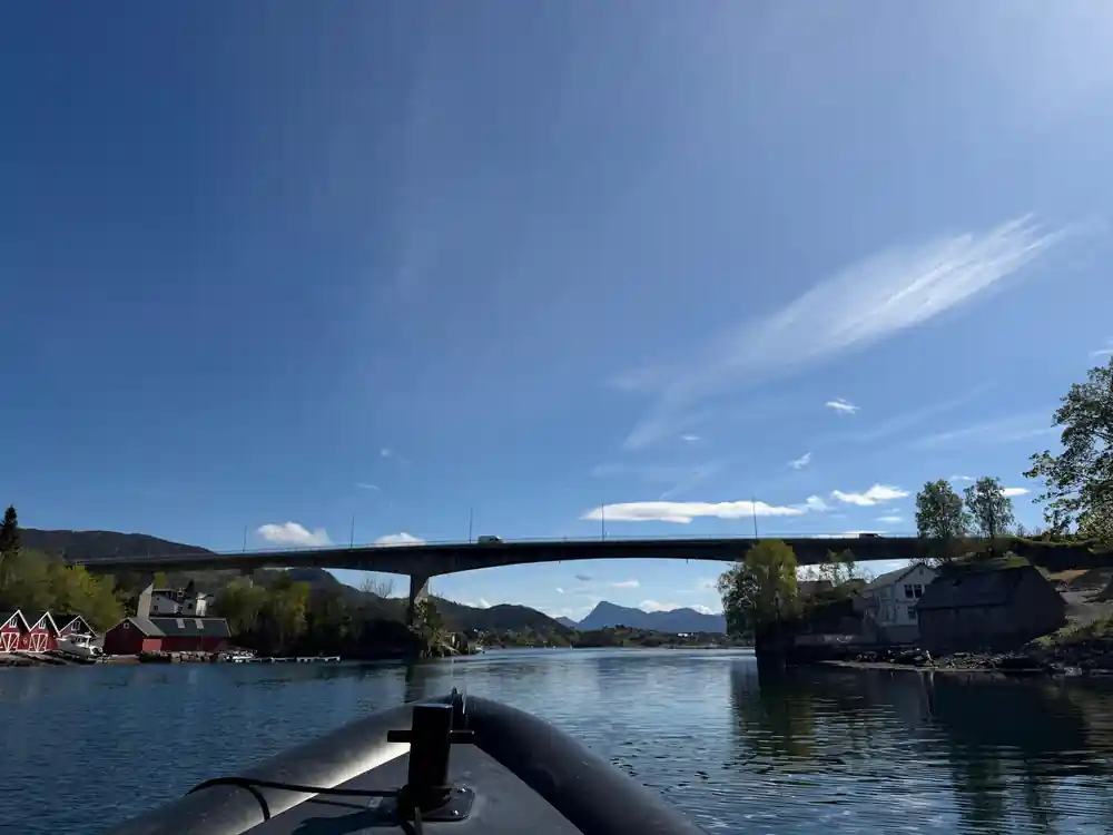
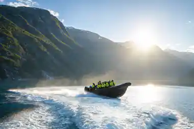
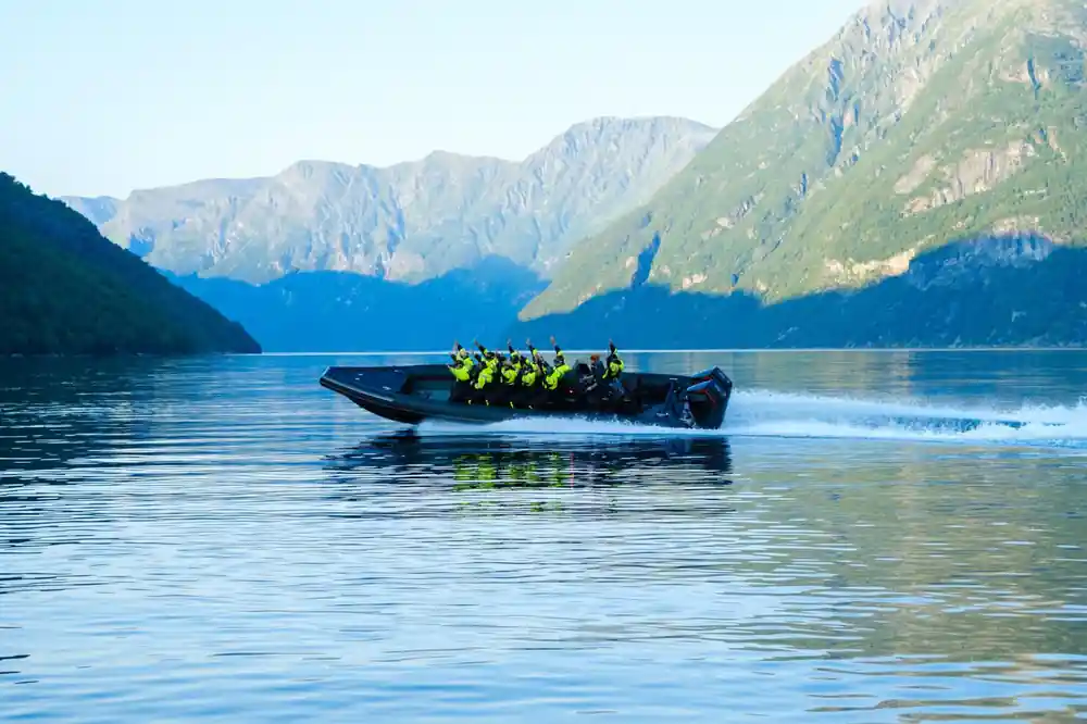
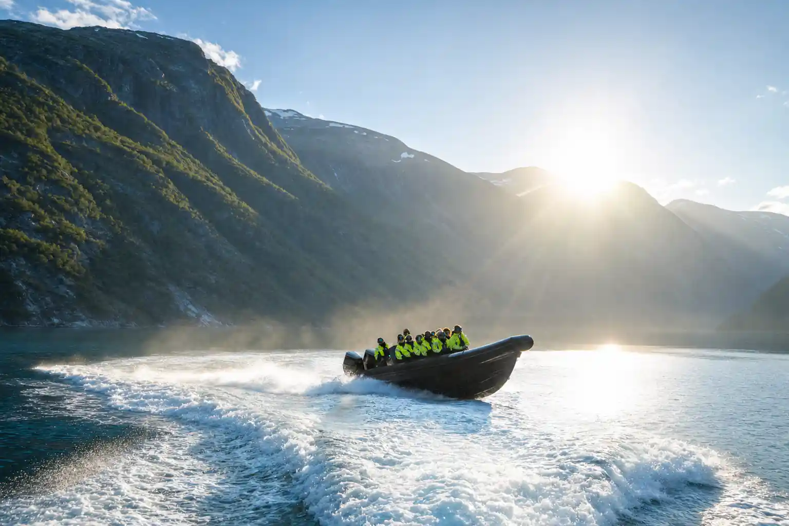
A RIB leaves the quay with the Sunnmøre Alps waiting ahead.
The Magerholm and Sykkylven narrows
Leaving Ålesund by boat, you thread through a landscape of low islands, sounds and narrow channels before the water really opens. Ferries slide back and forth across these straits all day, carrying cars, cyclists and shoppers between islands, and the crossings are short enough to feel like part of the road rather than a voyage. Watch the car decks fill and empty at each quay: it is the most honest picture of how this coast still moves, and it costs nothing to stand at the rail and see it.
These narrows are where the scale of the coast hits home. The land sits close on both sides, houses cling to the shoreline, and the water often lies glassy while the peaks above stay in cloud. Weather changes quickly in this part of Norway, so a jacket that keeps out wind and spray matters more than anything else in your bag. Keep a camera within reach, because the good shots tend to arrive without warning.
Wartime waters and strategic passages
The sounds and fjord mouths around Ålesund have carried more than scenery. These sheltered channels have long been routes for boats that preferred not to be seen, and the war years left their mark on the coast in the everyday geography of quays, lookouts and quiet anchorages. Guides on the water often point out where the story sits in the landscape, and even without commentary the narrow passages feel like places where large things happened.
It is worth slowing down here. A fjord is not a lake; the water is cold and tidal, and conditions in the sounds can turn choppy within minutes. On a RIB you feel that movement directly, which is much of the appeal. Dress for spray, hold on with one hand and let the other take the pictures, and the fast passages become far more enjoyable.
from US$157
The RIB Ålesund - Fjordsafari Hjørundfjord runs 105 minutes with a live English-speaking guide and stops at Hjørundfjorden.[1]
Working sea traffic in modern times
Modern Ålesund is still a working port. Ferries, express boats, fishing vessels and service craft share the harbour with visitors, and the traffic on the water is a reminder that these fjords are roads as much as they are scenery. If you are moving between towns rather than sightseeing, the summer express boat from Ålesund to Øye calls at Trandal, Sæbø and Urke on the way,[7] and it can suit a day better than a return trip.
If you would rather have a guide and a fixed return, the roundtrip fjord cruise from Ålesund takes 5 hours, starts from US$115 and calls at Hjørundfjorden, Trandal, Saebo, Urke and Øye before coming back to the city.[2] It is reserve now and pay later, with free cancellation up to 24 hours in advance for a full refund.[2]
How Storfjorden divides into its arms
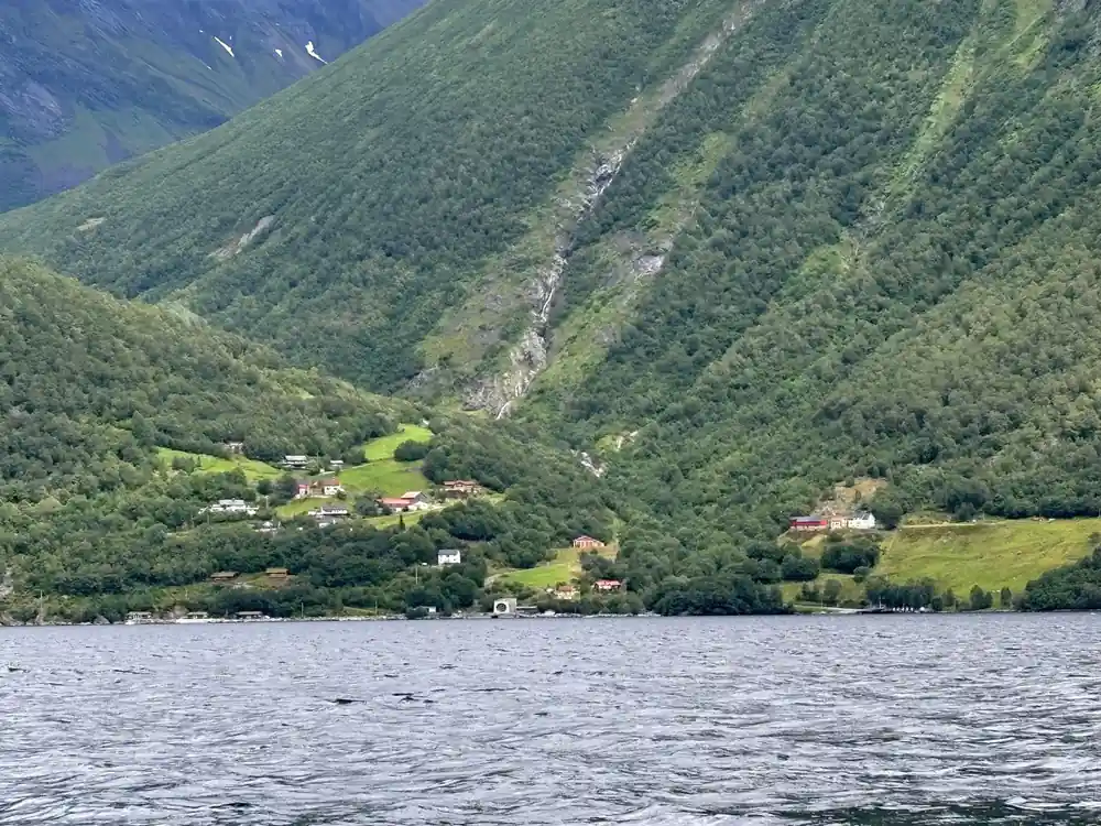
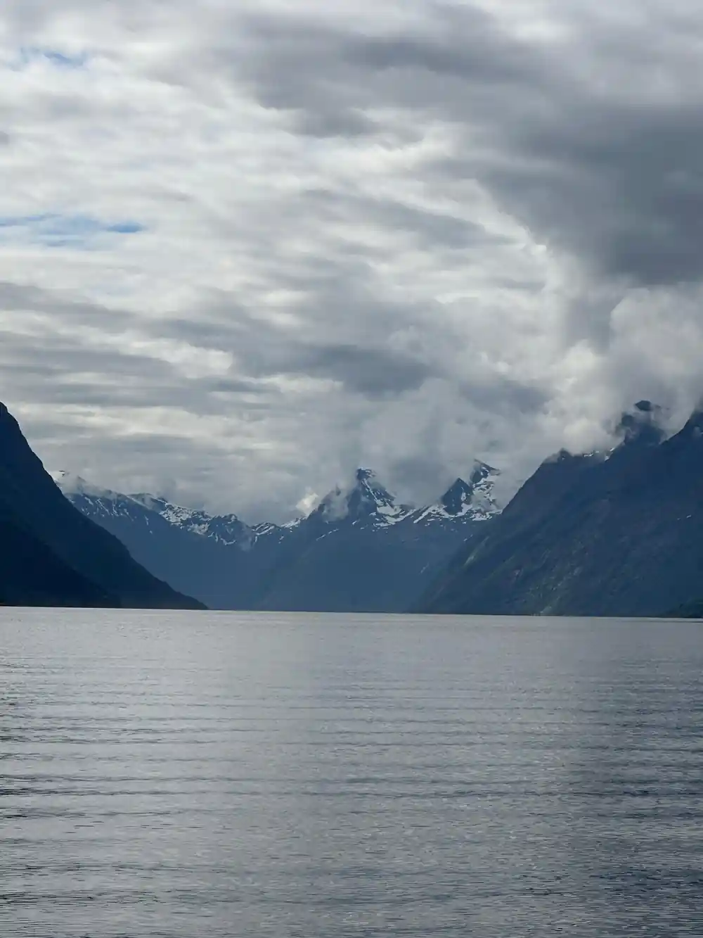
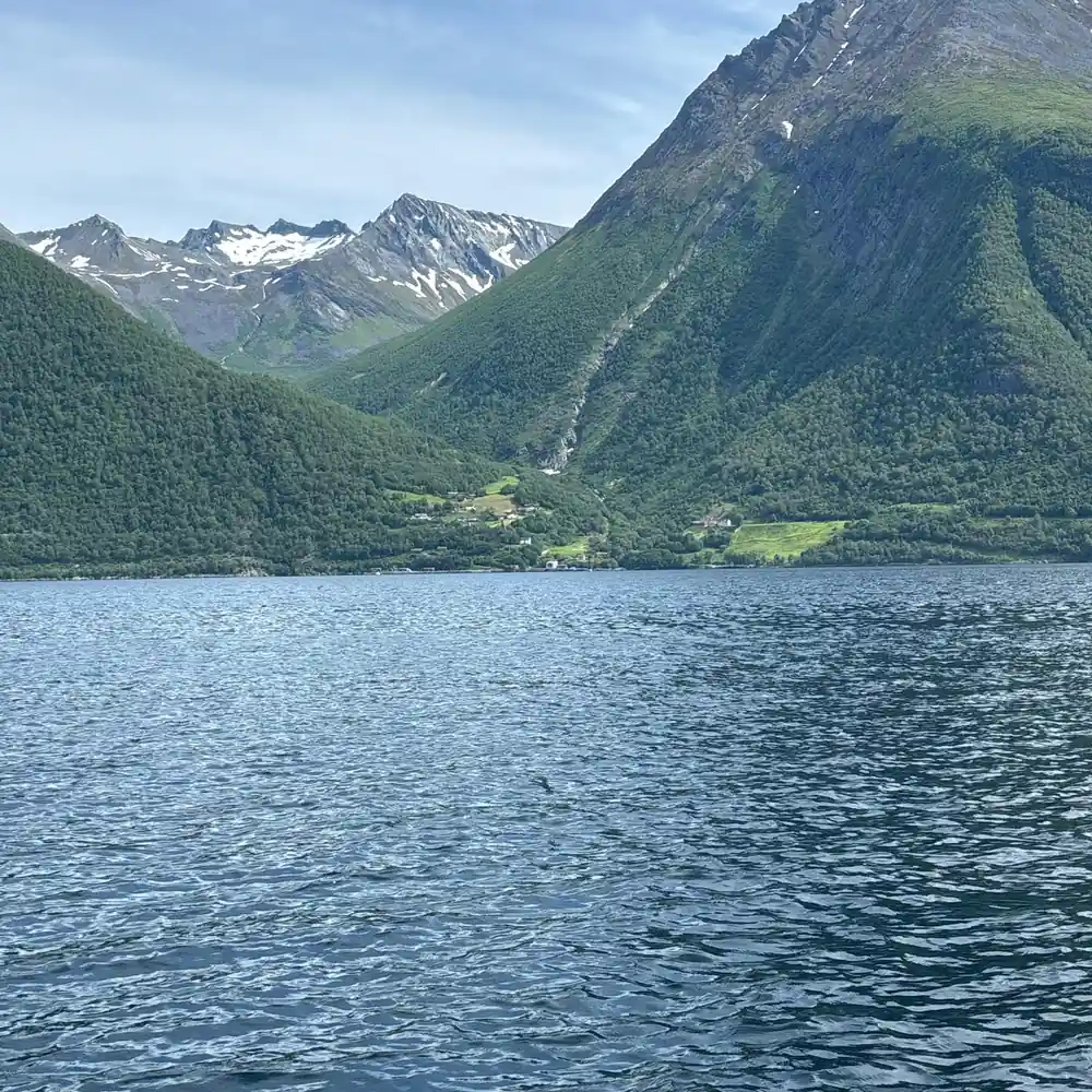
The water you cross on the way out of Ålesund leads into Storfjorden, and Storfjorden is less one fjord than a whole family of them. The Hjørundfjord stretches for 35km beneath the jagged peaks of the Sunnmøre Alps, a long arm that bends inland and disappears between mountains.[9] Looking up from that water, Slogen is a 1,564-meter mountain rising in the Sunnmøre Alps, with a spectacular pyramid shape that plunges directly into Norangsfjord, an arm of Hjørundfjord.[10]
Farther up the valley of Norangsdal, a lake hides a history. In 1908, a rock fall from Keipen formed Lygnstøylvatnet, and beneath its waters the remains of the old road, farmhouse foundations and a gateway are still visible.[11] Near the shore, Hotel Union Øye was established in 1891 and gained fame among European aristocracy and luminaries who wanted nature without sacrificing luxury and comfort.[12]
On the water, the scale is deceptive. The Hjørundfjord runs narrow between steep walls, and the mountains above it rise so directly that boats feel small. Bring binoculars if you have them, keep your camera out, and take a moment when the engine stops to listen to the quiet that settles between the sides of the valley.
From the harbour to the fjord mouth
The fastest way to feel the harbour turn into fjord is on the water itself. The RIB Ålesund - Fjordsafari Hjørundfjord runs for 105 minutes with a live English-speaking guide and stops at Hjørundfjorden, from US$157, and it is rated 4.88 from 150 reviews.[1] You reserve now and pay later, and free cancellation is available up to 24 hours in advance for a full refund.[1] This is the ride that carries you out past the islands, through the sound and into the still, steep-sided water beyond.
Other ways to make the same journey exist. A RIB safari to Hjørundfjord with Uteguiden lasts 2 hours, starts from US$158 and is rated 4.93 from 13 reviews.[3] The Hjørundfjord Fjord Cruise roundtrip from Ålesund takes 5 hours, from US$115, calling at Hjørundfjorden, Trandal, Saebo, Urke and Øye before returning, rated 4.58 from 282 reviews.[2] Further afield, a RIB from Hellesylt into Geirangerfjord takes 1 hour from US$104, rated 4.94 from 238 reviews, and stops at Hellesylt, Seven Sisters Waterfall, Friaren and Geirangerfjord.[13]
Whichever boat you choose, the pattern is the same. You leave the quay with the town behind you, pass the islands and the narrows, cross the open stretch where wind and swell live, and then the fjord mouth opens and the water goes quiet and dark. It is a short ride in the grand scheme of Norway, but it holds a great deal: the working harbour, the old routes, the peaks and the water that shaped all of it.
Review counts for fjord tours from Ålesund
Review counts as listed on GetYourGuide for the Hjørundfjord roundtrip cruise[2], the Geirangerfjord RIB from Hellesylt[13], the RIB Ålesund fjordsafari[1] and the Fjordsafari RIB with Uteguiden[3].
What the fjord boat trips cost, from-prices in US dollars
Adult from-prices in US dollars from GetYourGuide listings[1][2][3]. Child prices are not given on these listings.
When to head out on the water
From quay to fjord mouth
Book your slot
Choose your date and check availability for starting times, then reserve now and pay later.[1]
Meet at the harbour
Arrive at the quay a little early, with layers, sunglasses and a phone that will not fly overboard.
Get kitted out
Listen to the safety briefing, keep your warm layers on, and stow loose items where the crew tells you.
Out through the narrows
The boat slips past islands and working quays, then picks up speed on the open stretch before the fjord.
Into the fjord water
The Hjørundfjord stretches for 35km beneath the Sunnmøre Alps, and the water goes still as the walls close in.[9]
Back to town
You return to the same harbour, usually with damp hair, a full memory card and a better sense of the coast.
Ride from Ålesund's fjord harbor to the mouth of Hjørundfjord
from US$157Reserve now & pay later